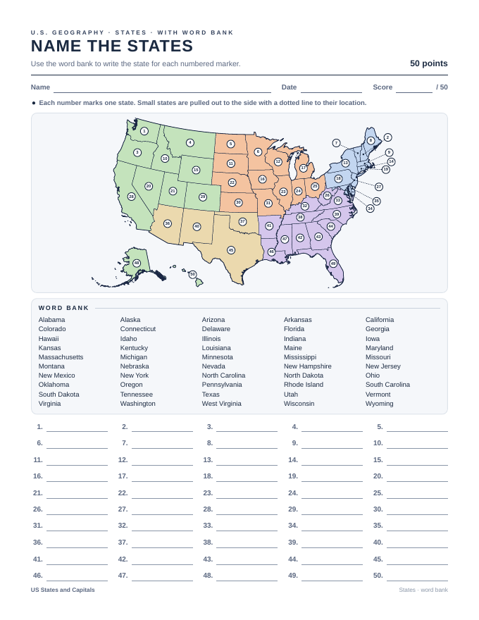
New Jersey Counties Map Test
A printable New Jersey Counties map test with an answer key, made from the same map your students practice on Atlas Conquest. Print it for a quiz, a review day or the unit test.
What you get
- Numbered map test with a word bank
- The same test without a word bank
- County seats test on the same map
- A and B versions so neighbors can’t copy
- An answer key for every version
- A blank map and a study map
Standards
This test is aligned with:
- C3 Framework D2.Geo.2.6-8: Use maps and other representations to explain how the locations of places and regions relate to each other.
- National Geography Standard 1: Use maps and other geographic representations to understand and communicate information.
- National Geography Standard 2: Use mental maps to organize information about people, places and environments.
- National Geography Standard 5: People create regions to make sense of Earth’s complexity.
Alignment is our own. The groups that write these standards have not reviewed or endorsed Atlas Conquest.
Printables come with the Teacher unlock and trial class codes. Open them with your class code and teacher PIN. No code yet? Get a trial class code.
What’s on the test
All 21 counties and their county seats
Atlantic (Mays Landing), Bergen (Hackensack), Burlington (Mount Holly), Camden (Camden), Cape May (Cape May Court House), Cumberland (Bridgeton), Essex (Newark), Gloucester (Woodbury), Hudson (Jersey City), Hunterdon (Flemington), Mercer (Trenton), Middlesex (New Brunswick), Monmouth (Freehold), Morris (Morristown), Ocean (Toms River), Passaic (Paterson), Salem (Salem), Somerset (Somerville), Sussex (Newton), Union (Elizabeth), Warren (Belvidere)